ಫೈಲ್:Ap-districts.png

ಈ ಮುನ್ನೋಟದ ಗಾತ್ರೊ: ೭೨೨ × ೬೦೦ ಚಿತ್ರೊ ಬಿಂದುಲು. ಬೇತೆಪಟೊತ್ತ ಗಾತ್ರೊ: ೨೮೯ × ೨೪೦ ಚಿತ್ರೊ ಬಿಂದುಲು | ೫೭೮ × ೪೮೦ ಚಿತ್ರೊ ಬಿಂದುಲು | ೯೨೫ × ೭೬೮ ಚಿತ್ರೊ ಬಿಂದುಲು | ೧,೨೩೩ × ೧,೦೨೪ ಚಿತ್ರೊ ಬಿಂದುಲು | ೨,೪೮೭ × ೨,೦೬೬ ಚಿತ್ರೊ ಬಿಂದುಲು.
ಮೂಲೊ ಫೈಲ್ (೨,೪೮೭ × ೨,೦೬೬ ಚಿತ್ರಬಿಂದುಲು, ಫೈಲ್ದ ಗಾತ್ರೊ: ೭೧೪ KB, MIME ಪ್ರಕಾರೊ: image/png)
| ವಿವರಣೆ |
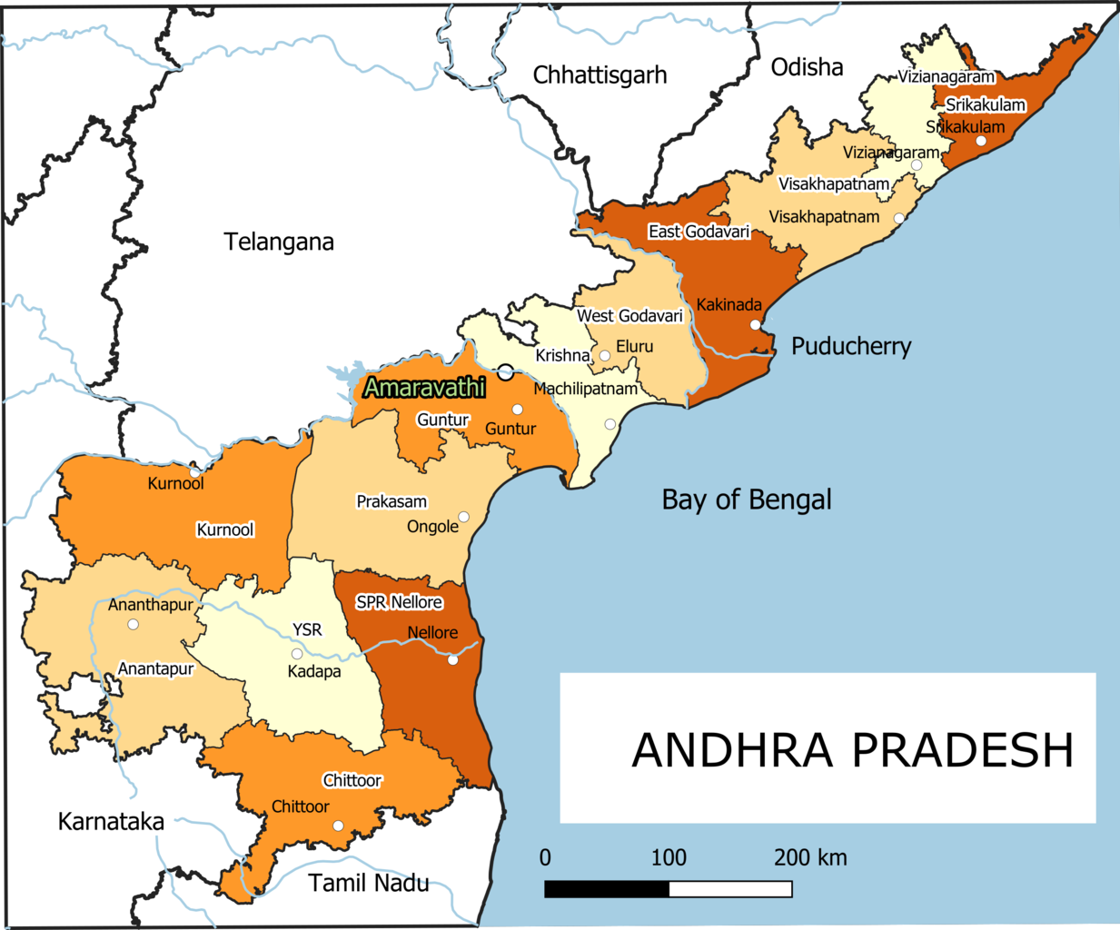
English: Old Andhra Pradesh Map
For more information please see: File:ఆంధ్రప్రదేశ్ జిల్లాల పటము.png |
| ದಿನೊ | |
| ಮೂಲೊ | ಸೊಂತೊ ರಚನೆ |
| ಲೇಕಕೆರ್ | Arjunaraoc |
| ಇತರೆ ಆವೃತ್ತಿಗಳು | For the latest version see File:Ap-districts.svg |
; for older version see https://commons.wikimedia.org/w/index.php?title=File:Map_AP_dist_all_shaded.png&oldid=344558866 ,
ಪರವಾನಿಗೆ
I, the copyright holder of this work, hereby publish it under the following license:
| This work contains information from OpenStreetMap, which is made available under the Open Database License (ODbL).
The ODbL does not require any particular license for maps produced from ODbL data. Prior to 1 August 2020, map tiles produced by the OpenStreetMap Foundation were licensed under the CC-BY-SA-2.0 license. Maps produced by other people may be subject to other licences. |
ಫೈಲ್ದ ಇತಿಹಾಸೊ
ದಿನೊ/ಪೊರ್ತುದ ಮಿತ್ತ್ ಒತ್ತ್ಂಡ ಫೈಲ್ ಆ ಪೊರ್ತುಡು ಎಂಚ ತೋಜೊಂದಿತ್ತ್ಂಡ್ ಪಂದ್ ತೂವೊಲಿ.
| ದಿನೊ/ಪೊರ್ತು | ಎಲ್ಯಚಿತ್ರೊ | ಆಯಾಮೊಲು | ಬಳಕೆದಾರೆರ್ | ಅಬಿಪ್ರಾಯೊ | |
|---|---|---|---|---|---|
| ಇತ್ತೆದ | ೧೭:೪೨, ೨೫ ದಸಂಬರ್ ೨೦೨೧ | | ೨,೪೮೭ × ೨,೦೬೬ (೭೧೪ KB) | Arjunaraoc | Created new version with clean state boundaries using OSM and natural earth data |
| ೧೪:೫೯, ೨೭ ಮಾರ್ಚಿ ೨೦೧೯ |  | ೨,೪೮೫ × ೨,೦೬೪ (೭೭೦ KB) | Arjunaraoc | fixed few labels going outside graphic | |
| ೧೩:೩೧, ೨೭ ಮಾರ್ಚಿ ೨೦೧೯ |  | ೨,೪೮೫ × ೨,೦೬೪ (೭೭೦ KB) | Arjunaraoc | Corrected the boundaries of Andhra Pradesh districts impacted by State division in 2014. For more information check details in File:ఆంధ్రప్రదేశ్ జిల్లాల పటము.png | |
| ೧೩:೫೧, ೨ ನವಂಬರ್ ೨೦೧೫ |  | ೬೦೦ × ೬೦೦ (೭೬ KB) | Kannadabheri | Cross-wiki upload from en.wikipedia.org |
ಫೈಲ್ದ ಉಪಯೋಗ
ಈ ತಿರ್ತ್ದ ಪುಟೊ ಈ ಫೈಲ್ಗ್ ಸಂಪರ್ಕೊ ಕೊರ್ಪುಂಡು.
ಜಾಗತಿಕೊ ಫೈಲ್ ಉಪಯೋಗೊ
ಈ ಫೈಲ್ನ್ ತಿರ್ತ್ ಉಪ್ಪುನ ಬೇತೆ ವಿಕಿಲು ಗಲಸುವ:
- bn.wikipedia.org ಮಿತ್ತ್ ಉಪಯೋಗೊ
- ha.wikipedia.org ಮಿತ್ತ್ ಉಪಯೋಗೊ
- hi.wikipedia.org ಮಿತ್ತ್ ಉಪಯೋಗೊ
- hu.wikipedia.org ಮಿತ್ತ್ ಉಪಯೋಗೊ
- oc.wikipedia.org ಮಿತ್ತ್ ಉಪಯೋಗೊ
- sat.wikipedia.org ಮಿತ್ತ್ ಉಪಯೋಗೊ
- sd.wikipedia.org ಮಿತ್ತ್ ಉಪಯೋಗೊ